CNG Forum 2026 · Cloud-Native Geo in Practice

Tyler Erickson
VorGeo · Founder
Radiant Earth · CTO
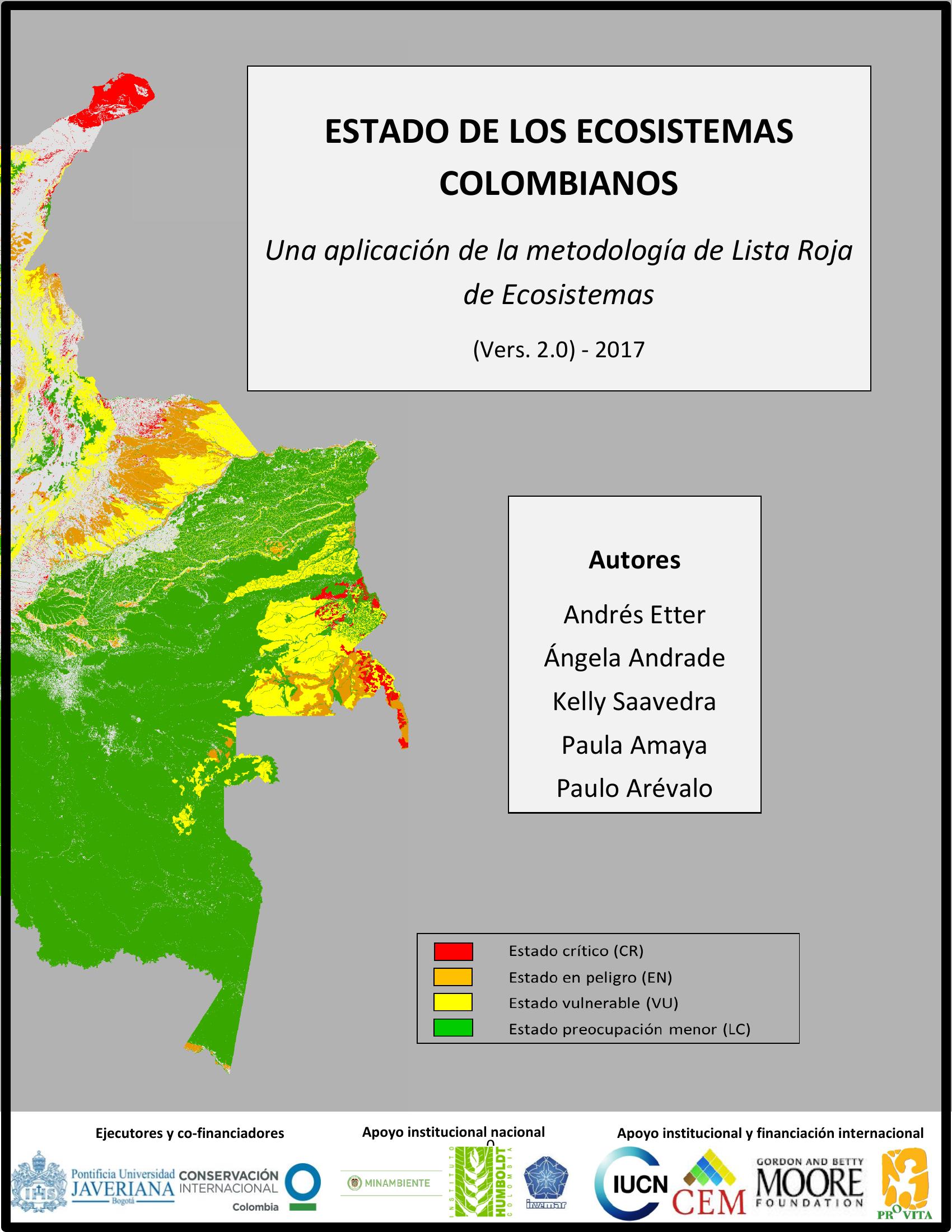
How at risk
are a country’s
ecosystems?
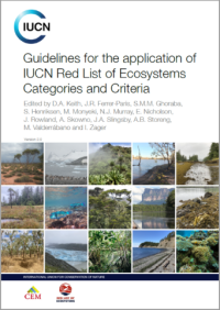
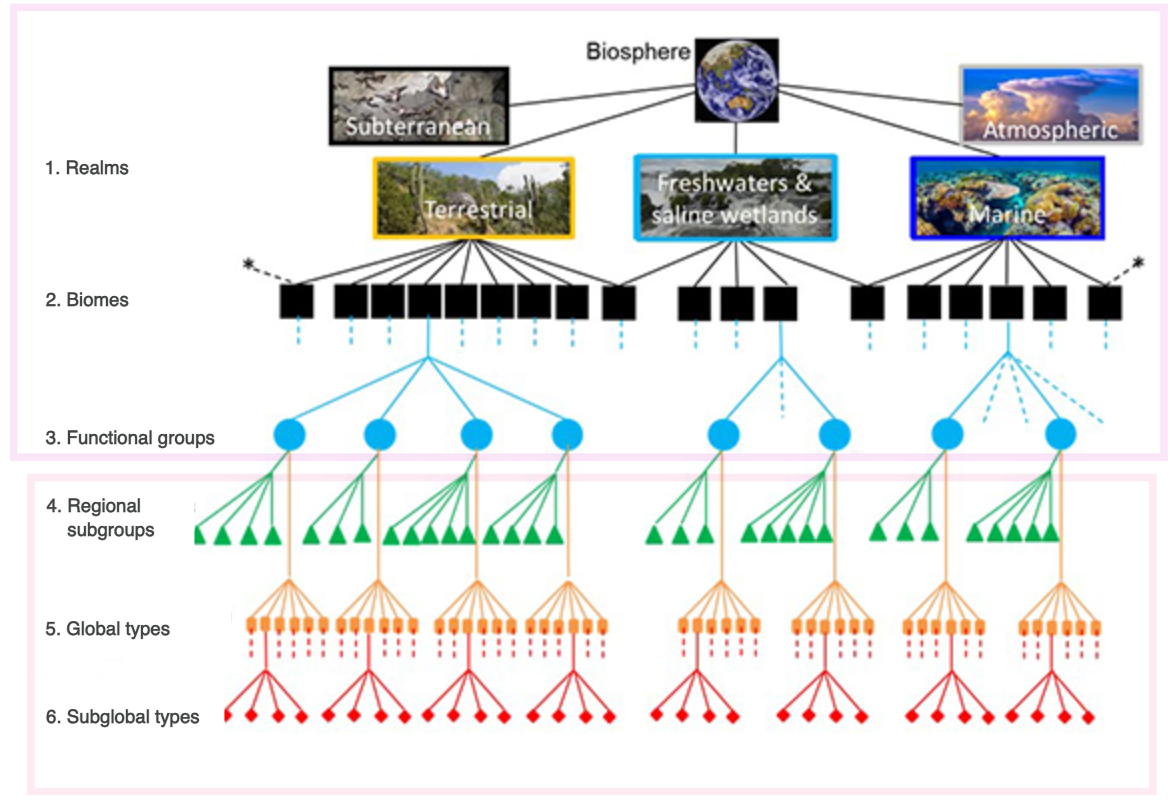
IUCN Red List of Ecosystems
The global standard for ecosystem risk
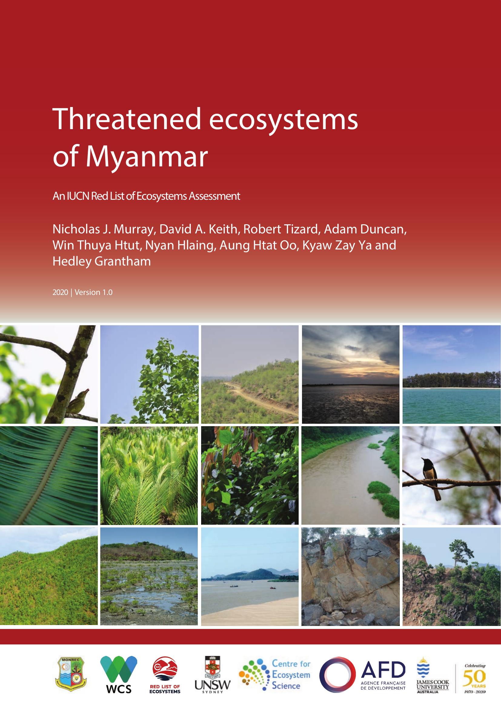
A patchwork of tools and ad hoc scripts
hard to share · reproduce · maintain

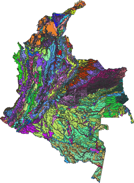
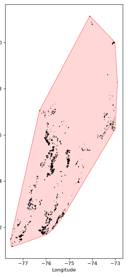
460,350ecosystem polygons
87ecosystem types
1.7 GBas GeoParquet
IDEAM · 1:100,000 · 2024
An open-source,
cloud-native
assessment workflow
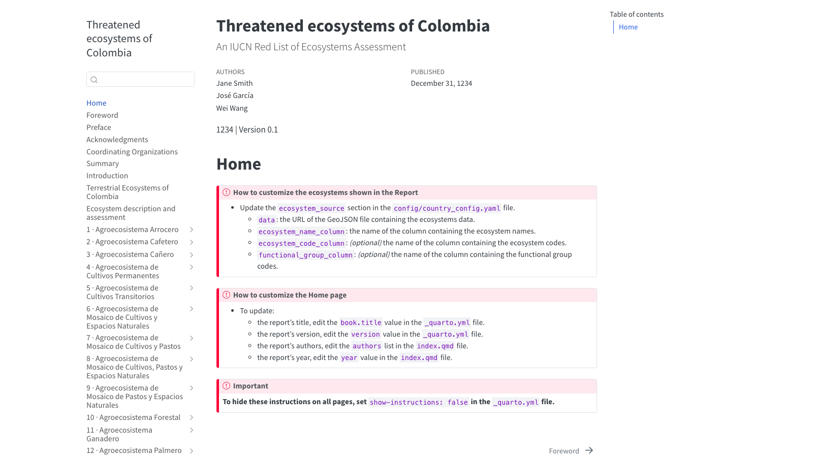
Document as code
This page is a notebook
code · narrative · maps
one repo, version-controlled, reproducible
Backup
Backup

Backup
[Screenshot: interactive Lonboard map from the site]
The hard part wasn’t the geospatial computation.
It was setup.
Assessors are ecologists, not software engineers
Python environment GitHub account Google Cloud project gcloud auth login application-default login MFA IAM roles service account Earth Engine registration billing bucket CORS GitHub secrets Pages settings
Setup friction as a first-class problem
Where the tooling still falls short
Cloud-native formats make country-scale maps static
Document-as-code keeps the science reproducible
For non-engineers, setup is the product